
In this guide, I’ll share my detailed Kyushu bike touring itinerary — with maps, GPX downloads, what to expect, and route notes for each day.
This Kyushu cycling tour is the first part of a 2-part series sharing my recommended bike touring route across Western Japan – also covering Shikoku, Shimanami Kaido, Tobishima Kaido before finishing in Hiroshima.
Kyushu is an incredible island to explore on two wheels, and I’d recommend this itinerary if you’d like to experience a real variety of Kyushu’s nature and don’t mind some serious climbs. It’s a nice balance of sea and mountains, as well as rural and urban.
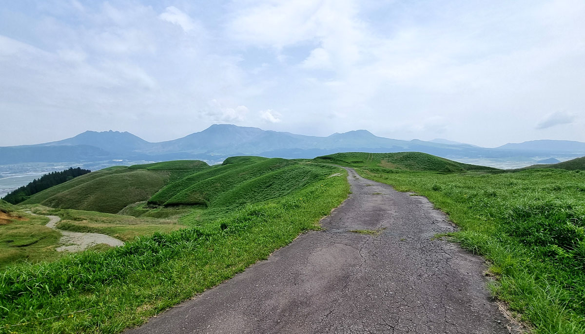
The Western Japan route starts off in Fukuoka – Kyushu Island’s biggest city and the birthplace of tonkotsu ramen. From Fukuoka, I set off west along sandy beaches and rolling hills covered with picturesque rice paddies before reaching the infamous but really fascinating Nagasaki. The route heads back east to the lovely city of Kumamoto, famed for its horse sashimi and a beautiful castle.
Leaving Kumamoto, the views just keep getting better. My route climbs up to the giant rim of Aso volcano, and descends into the active volcanic and farming land down in the crater itself. I continue northeast through Kuju Mountains and Kyushu’s highest road, before descending into Japan’s pungent but very relaxing hot springs towns of Yufuin and Beppu.
If this sounds fun – read on for the details, downloadable GPX routes and what to expect of this Kyushu cycling adventure.
Kyushu Tour Highlights:
- Fukuoka’s foodie scene
- Sandy beaches of Genkai Sea
- The seaside pine forest and castle of Komatsu
- Okawachiyama Village and Japan’s porcelain capital region
- Terraced rice fields of Hamanoura
- The cities of Nagasaki & Kumamoto
- Aso Volcanic Caldera
- Kuju Mountain Pass
- Japan’s hot spring heartland
Kyushu Cycling Tour Map
Total Distance: ~520km
Total Elevation: ~ 6,500m
Day 1: Fukuoka & Saga Prefecture
From bustling city to sandy beaches and rice field terraces
Distance: 130km
Elevation: ~860m
The tour couldn’t get off to a better start. Most Japanese hotels offer a cyclist-friendly feast for breakfast – anything from pastries and fruits to noodles, cod roe and stinky soy beans. After filling up like a tick, I set off to the coast on a beautifully sunny Monday.
Most Japanese cities aren’t amazing for road cycling – and Fukuoka is no exception. Bike lanes are sparse, and it’s instead normal to hop on the shared but not the smoothest walkways. Add to that the painfully long red lights at the cross-roads..
I navigate through a mix of busy roads and quiet neighbourhood lanes. Past salarymen in a rush somewhere, then groups of Japanese nursery kids with their cute colour-coordinated caps, women strolling with their sun umbrellas (an essential), a quaint lake; an old fortress wall.
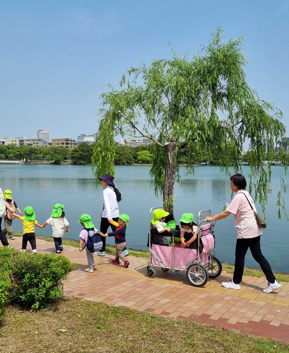

I meet the coast around Fukuoka’s most distinct and tallest landmark – Fukuoka Tower – and stick to a quiet seaside road for a while.
Once Fukuoka Tower becomes a mere dot on the horizon, the scenery turns more interesting. The route to Karatsu passes some very inviting sandy beaches before traversing a beautiful seaside pine forest of Nijinomatsubara.
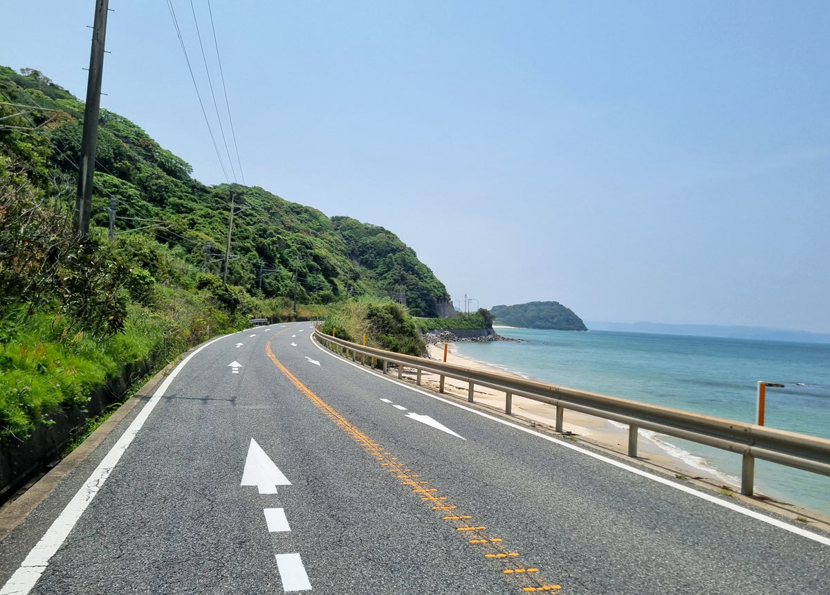
By this point I realise the best way of touring Japan is taking the many smaller roads that run in parallel to the bigger direct road I got routed on through Komoot and Strava. I zigzag through the pine forest trail, then the backroads below the hilltop Komatsu Castle, before some lovely cruising along the flat, traffic-free farm roads of the Karatsu Peninsula.
But the easy going doesn’t last long – the next section, fuelled by a hearty pork ramen from a grandma restaurant, turns into a scenic rolling hills terrain lined with picturesque rice terraces. The most beautiful I come across are the terraced rice fields of Hamanoura, its lush green terraces descending all the way down to the coast.
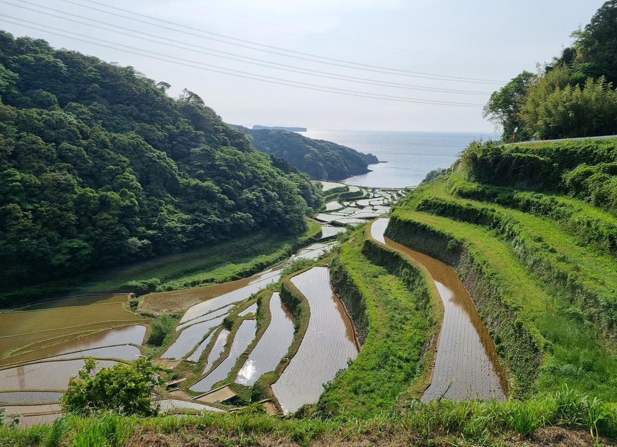
I sweat my way through a few more hills on Saga Prefecture’s country roads before arriving in the sleepy riverside town of Imari – just in time for sunset and izakaya.
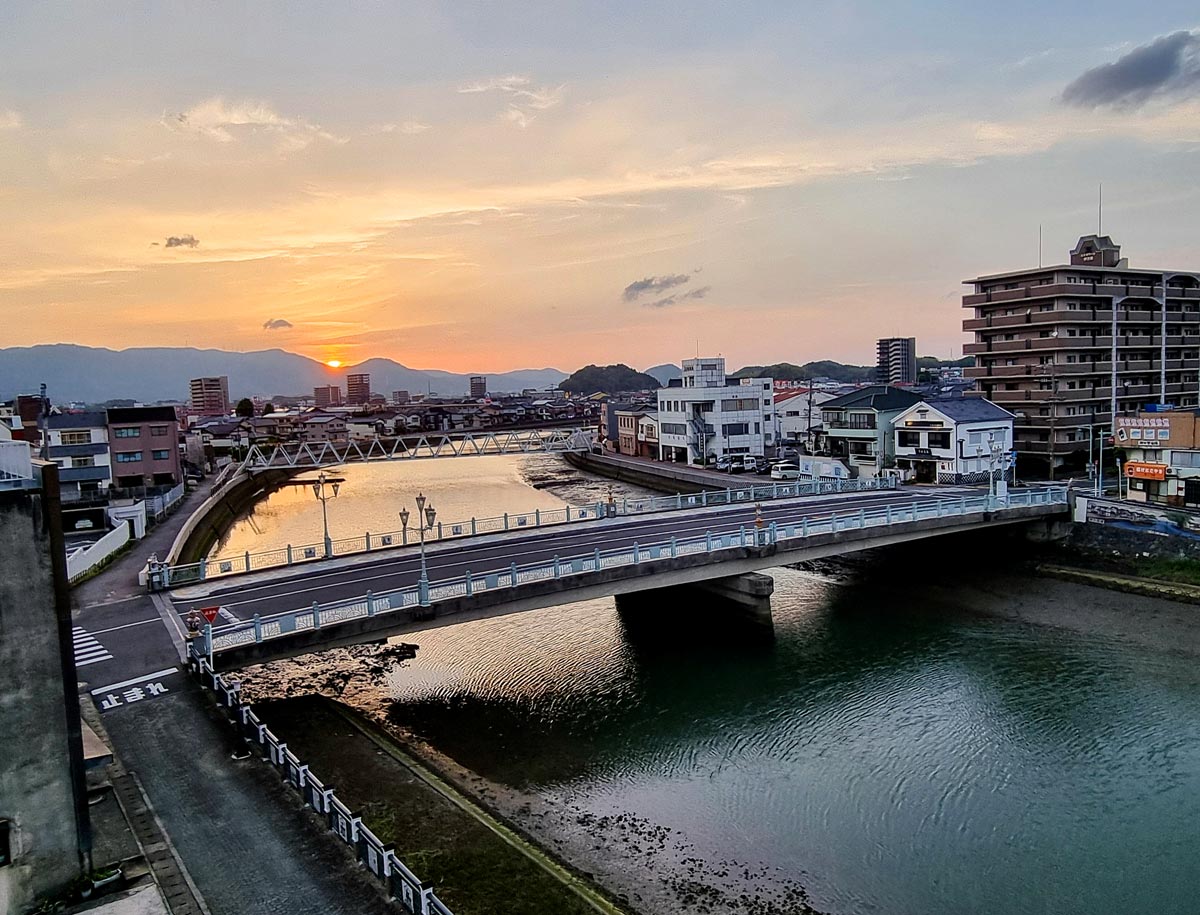
Day 2: Imari to Nagasaki
Japan’s porcelain heartland and a Dutch village
Distance: 107km
Elevation: ~850m
While unassuming at first sight, Imari has an interesting ceramic heritage which becomes clear as you explore its streets. On the main street, a porcelain clock tower plays out a musical scene of Dutch sailing ships, presumably on the way to pick up Imari’s famous porcelain. There is a fascinating Dutch connection in the area as the local porcelain was a popular export and an influence on Dutch delftware.

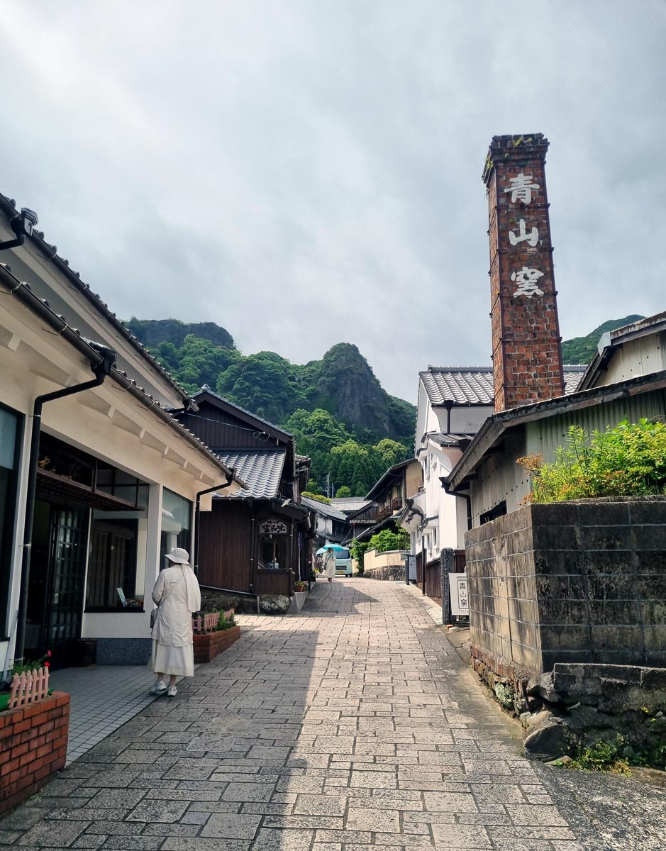
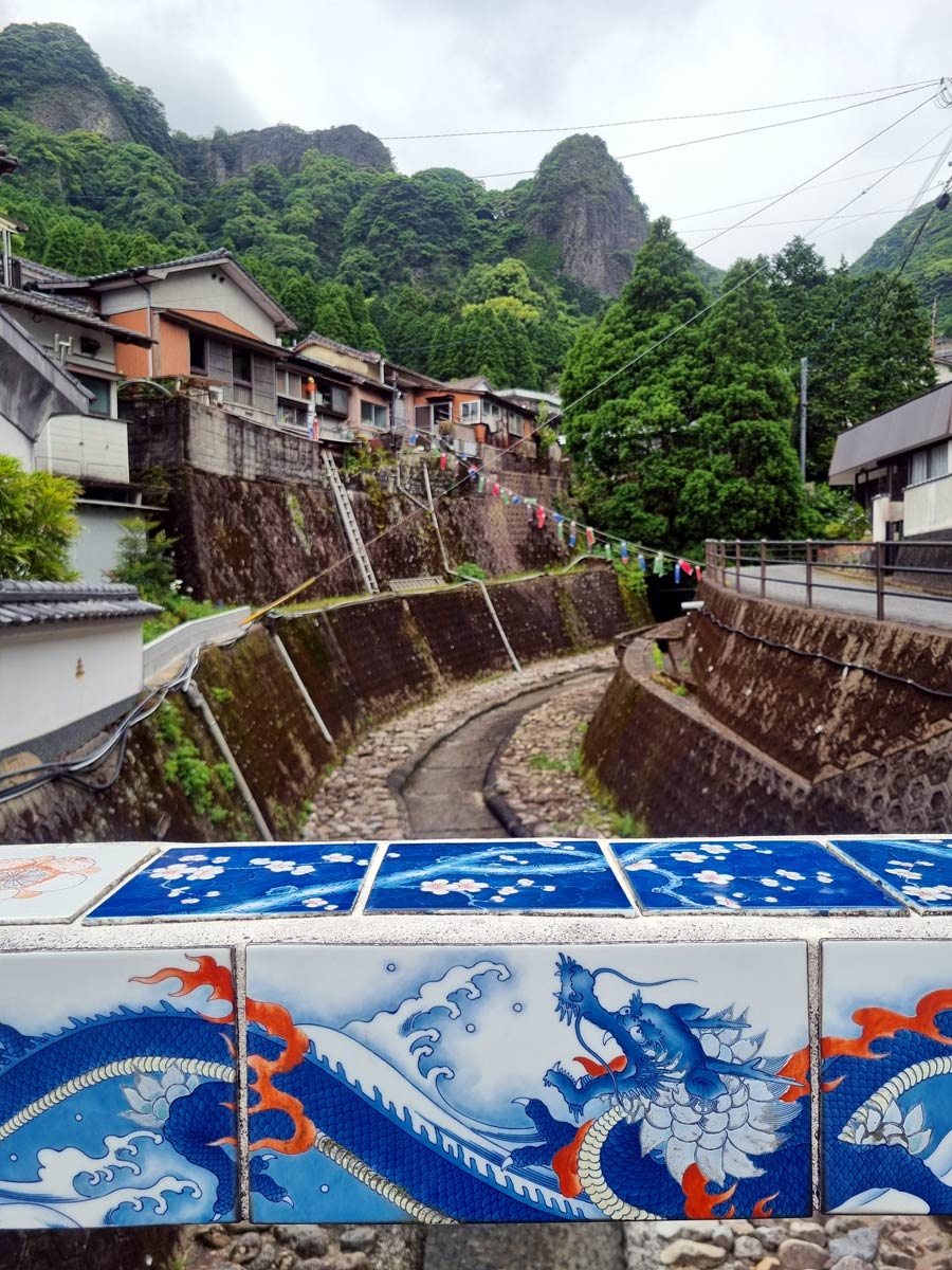
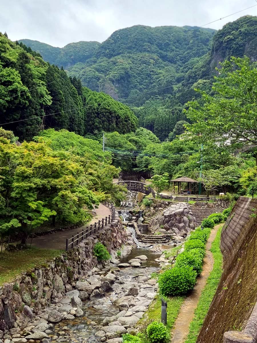
I start the day with a side quest to the village of Okawachiyama up in the hills south of Imari, also known as the “Village of the Secret Kilns”. It’s another place known for its porcelain, apparently the finest in Japan. Besides the dozens of pottery workshops, it’s very picturesque up here – the cobbled streets and kiln chimneys, with the backdrop of lush forest-topped hills. The bridges and signs are beautifully decorated in porcelain tiles, and there’s a picture-perfect Japanese garden by the river.
I head back down to Imari (nearly running over a snake) before turning south towards Omura Bay.
About 40km of Japanese countryside later, I suddenly find myself in the Netherlands. Like a full-on Dutch canal, windmills, houses, tulip gardens – even a Dutch church. I’ve arrived at Huis ten Bosch, a huge Dutch-themed amusement park. It’s apparently been through a bankruptcy and now trying out for the second time.
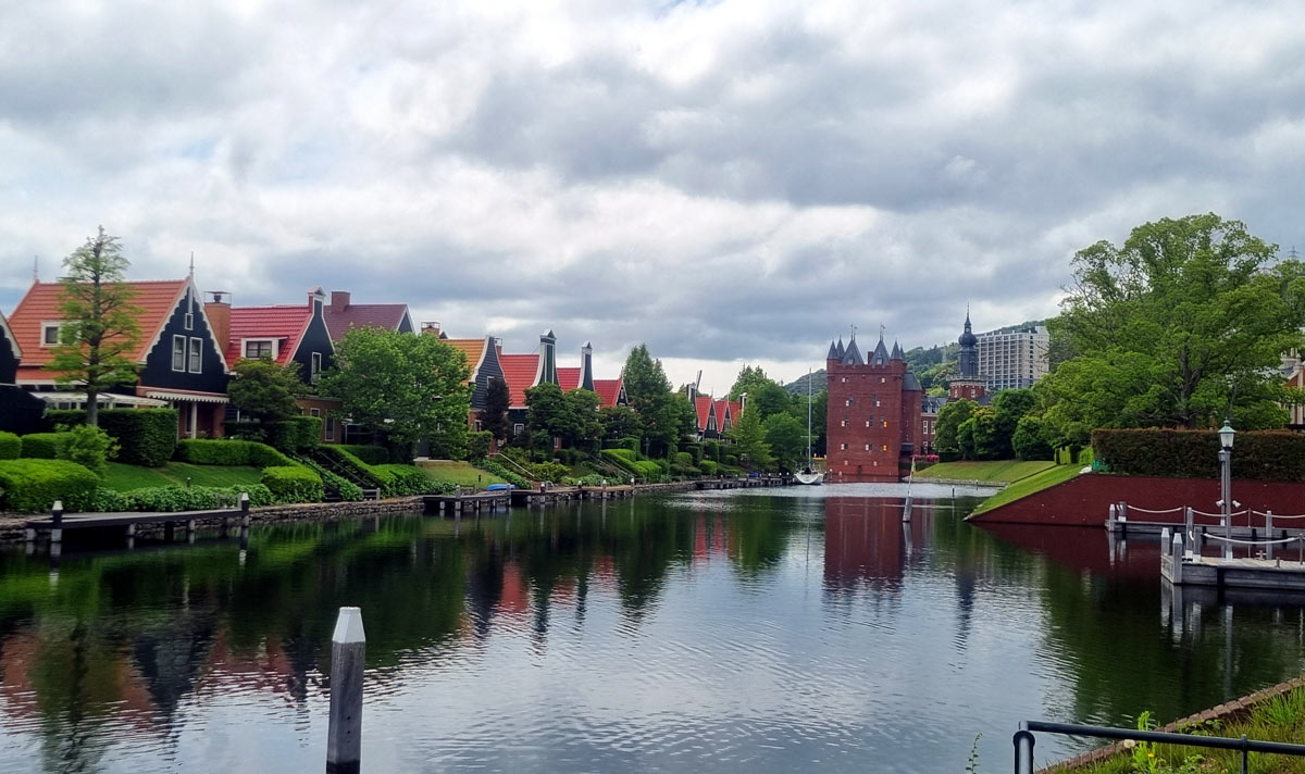
From here, I choose the more direct route 206 to Nagasaki along the coast of Omura Bay. It’s a pleasant and flat road with occasional views of sheltered bays and oyster farms, as well as plenty of options for a lunch stop.
Tip: If you don’t mind a bit more climbing and distance, consider the 202 coastal route instead for a more dramatic ride.
At some point, a kind passing driver stops me to hand me her homemade onigiri. It’s a hot, humid day so I must have looked like I was really struggling.
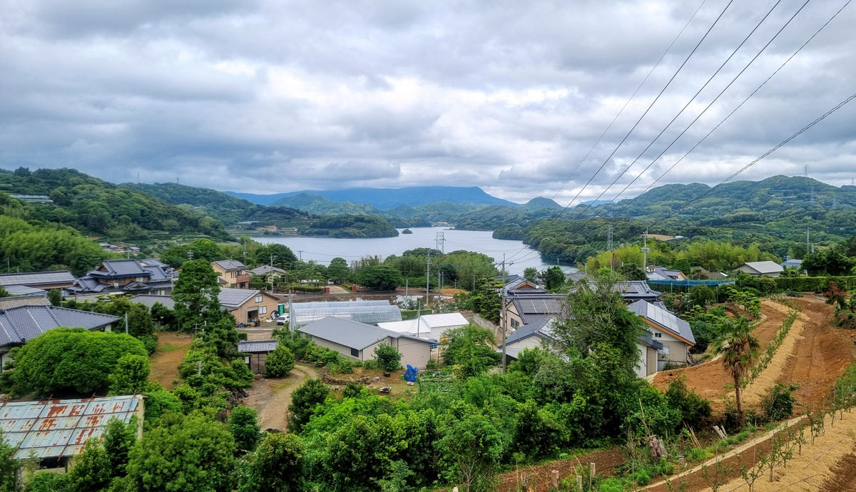
The final section into central Nagasaki feels like a slog. The city stretches northwards along the road I’m arriving on, which makes for a lot of urban cycling unfortunately timed during the evening rush-hour.
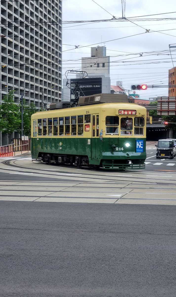
Once I do finally arrive and settle in, I quickly realise that Nagasaki might be my favourite city in Western Japan. It feels more slow-paced than Fukuoka, has a unique international heritage (as Japan’s only trading port for centuries), with its charming old-school trams adding to its cool identity.
If you’ve got the energy, head up the cable car to Mount Inasa for some impressive night views of the city.
Day 3: Nagasaki to Kumamoto
Wash out day
Distance: 84km
Elevation: ~600m
I hate the fact that I have to leave Nagasaki so soon. Not just because it’s a city worth exploring a lot more, but also because I roll up the blind to be met by a wall of rain.
In Japan, when it rains – it RAINS. The rain season isn’t meant to kick off until another couple weeks in June, but the rain radar app is a sea of red and orange. I spend the morning cutting onions in Nagasaki’s Atomic Bomb Museum, waiting out the worst of the rain. All in vain – it’s still pouring.
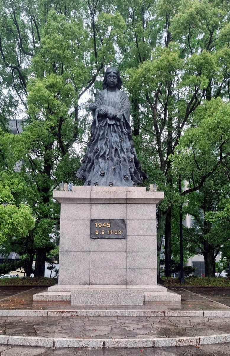
I accept the inevitable and head out eastwards towards Shimabara in order to catch the ferry across to Kumamoto. After one moderate climb leaving Nagasaki, I “enjoy” a ~30km stretch of pretty flat cycling. I can’t speak of any particularly remarkable views as, well – there wasn’t much to be seen in the torrential rain and low cloud.
To add to the deluge, most of the roads out of Nagasaki are on the busy side. While you can often change to parallel local roads, there was a fair bit of jumping on the puddly pavements to avoid the traffic. At least the rain was warm and refreshing, and I could easily stay hydrated from the helmet run-off. Not to mention the free bike and body wash from passing cars.
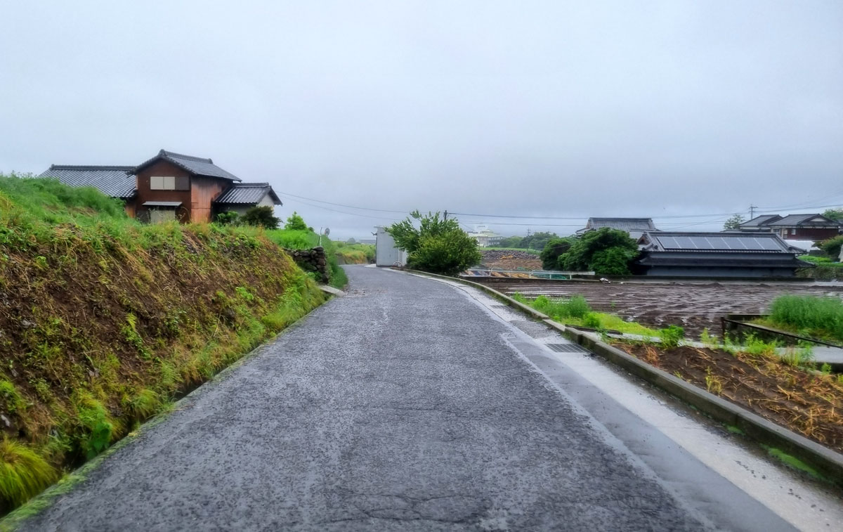
My original plan was to hit the Unzen Mountains on road 57 – famous for the Unzen hot springs and promising gorgeous views. Not that I’d see any of it in the torrential downpour and low clouds – so I decide to reroute through the “Unzen B-Road” that curves around the volcano. It’s a less busy, very rural road – and I imagine the views down to the coast would be great on a better day. I take on a series of punchy up-and-downs, before eventually descending through tiny farm roads down to Shimabara City. The 1-hour Ferries from Shimabara to Kumamoto leave every 90 or so minutes (ferry timetable here) and I race to catch the next one.
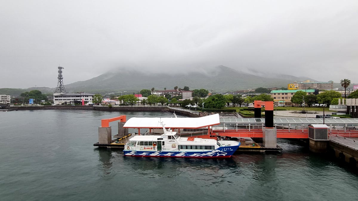
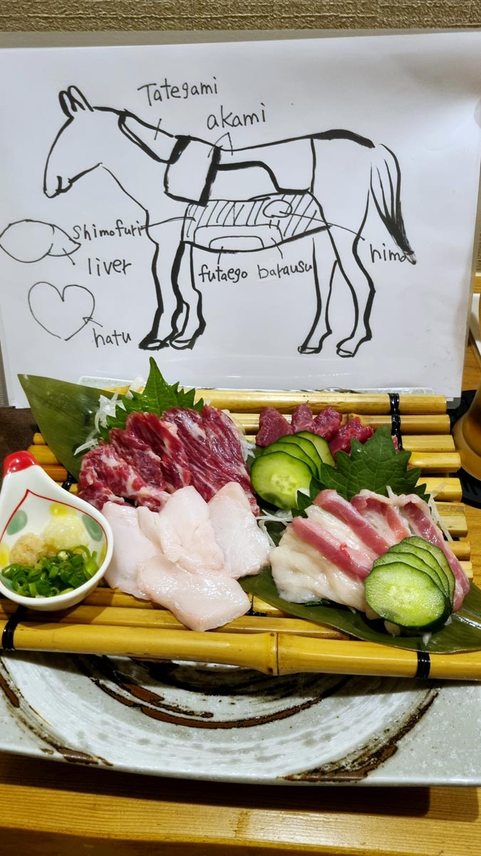
A couple beers later and still wetter than the ocean, I disembark at Kumamoto Port with another 15km to go. The tour’s wettest day ends in a fun time-trial style freestyle through empty farm roads. Having settled into a flat with a floor mattress for a bed, I seek out the city’s most famous delicacy – horse sashimi. Allegedly, after cars replaced horses – the people of Kumamoto found another use for their equine friends, and now they’re commonly found in Kumamoto’s izakayas. And against expectations, they somehow deliciously taste like tuna sashimi.
Day 4: Kumamoto to Aso Caldera
Up and down into the giant volcanic caldera
Distance: 70km
Elevation: ~1,100m
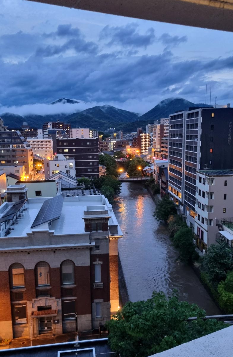
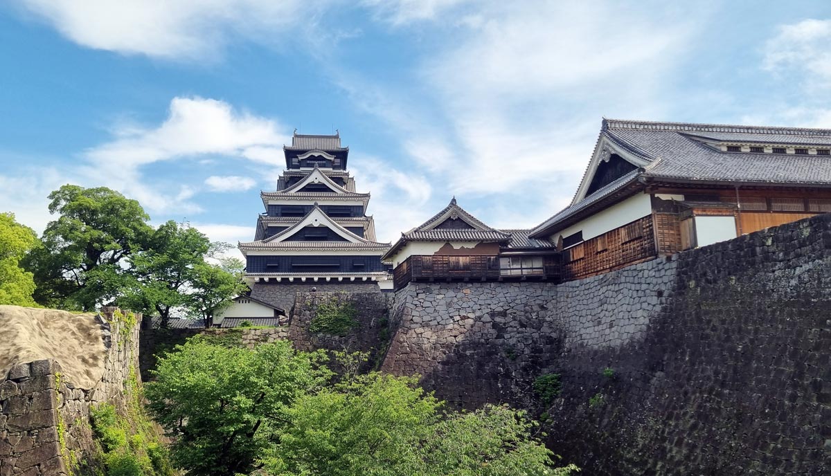
Kumamoto is another of Japan’s lesser-known hidden gem cities – with its stone bridges, old-school trams and the impressive Kumamoto Castle – an earthquake-scarred fortress atop a hill. As if apologetic for yesterday, the weather greets Kumamoto with wall-to-wall sunshine, as I set off towards the giant crater.
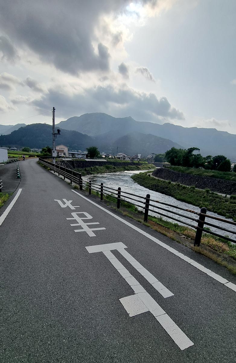
The mostly flat first section runs through a fairly populated area along the Shirakawa river, and there’s almost always the option to take those tiny residential roads that run alongside the 337 provincial road. It’s a medley of towns one after the other, right up to today’s main climb up the Aso Caldera. It’s a steady and sweaty 800m ascend that winds through a forest, before the terrain eventually opens up to dramatic landscape of verdant volcanic hillocks covered in thick grass.
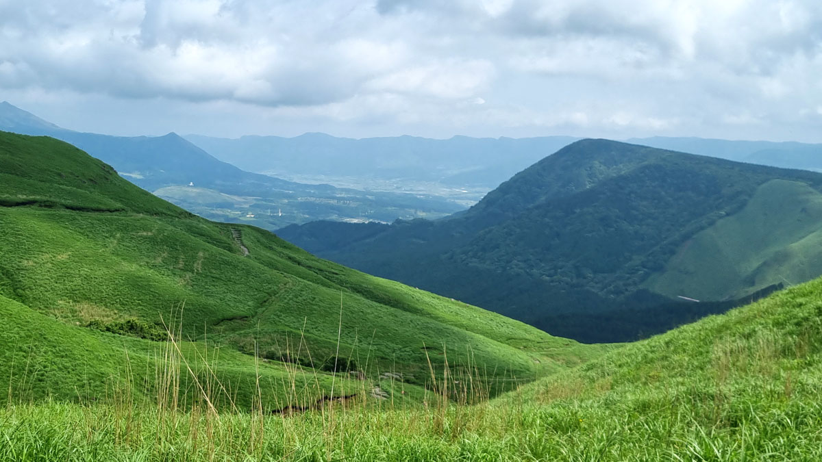
The route I chose follows the 339 road along the northern rim of Aso’s giant volcanic caldera. So giant in fact that it could fit the entire cities of Barcelona and Amsterdam. This vastness only becomes clear at the first great viewpoint enroute at Kabutoiwa Scenic Lookout.
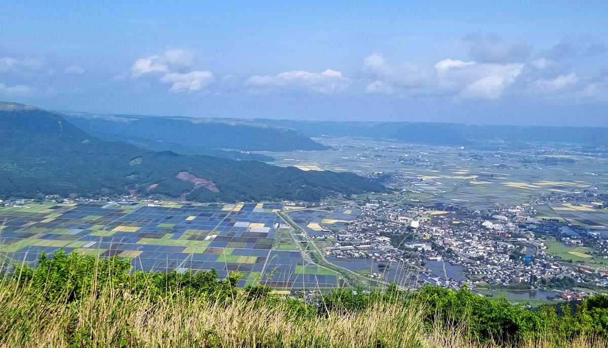
The opposite side of the rim is so far it’s barely visible in the summer haze, and far down below, the fertile crater plateau is neatly dissected into hundreds of farms and rice paddies. Yep, people happily live down inside the crater – there’s even a small city. In the middle of the caldera, looms a group still-active volcanoes – one permanently sending a stream of smoke into the skies above Aso.
I follow east along the stunning rim road before enjoying a fun, twisty descent into the crater on road 212. Riding amongst the farms and rice paddies is a treat – there are so many traffic-free farm roads to freely roam on that it’s close to cycling utopia.

Day 5: Aso to Japan’s Thermal Springs Heartland
Baby volcano, Kuju Mountains and smelly air
Distance: 101km
Elevation: ~1,800m
Revitalised by an evening brothing away in an onsen and some very hearty meals, I decide to add an extra detour to today’s leg.
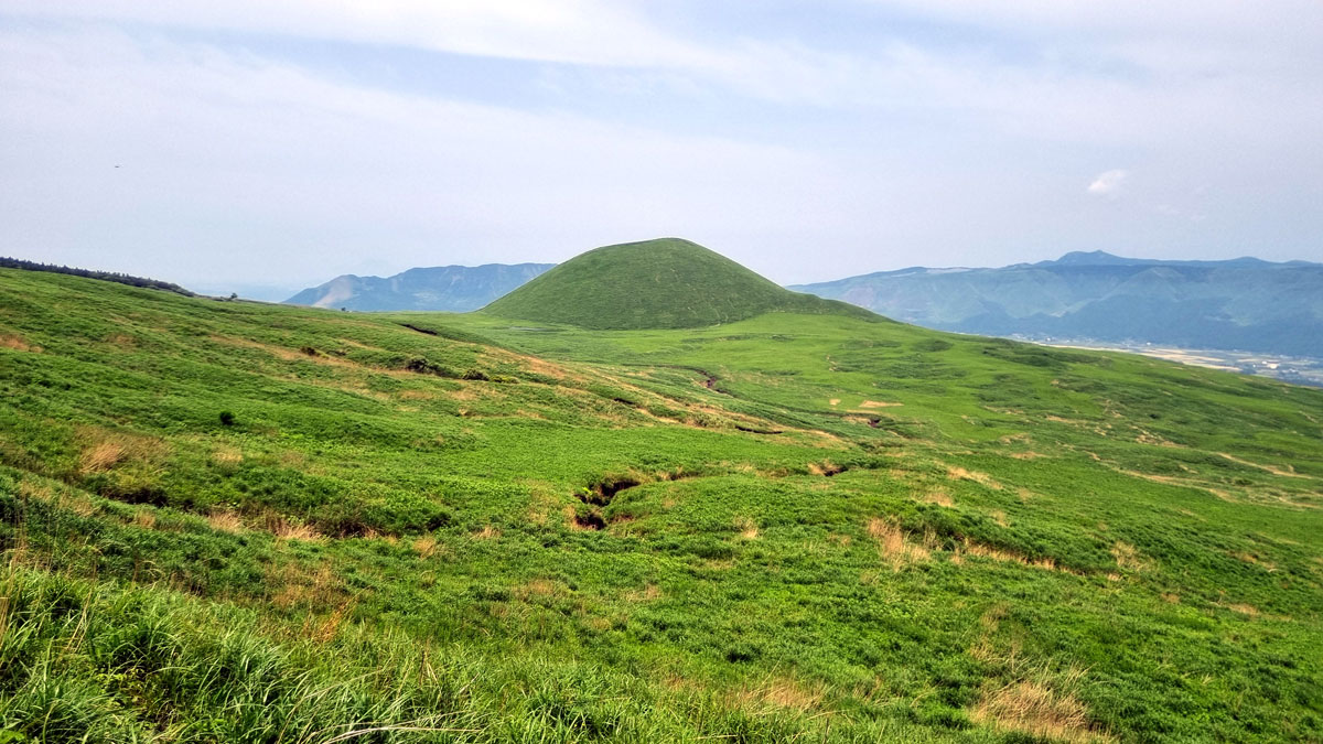
Inside Aso’s giant caldera is a large flat area of farmland surrounding a group of active volcanoes in the center – some taller than the outer Aso rim itself. I’d love to explore the actual volcanoes, but with much climbing ahead, I opt for a shorter and ridiculously scenic 400m climb up to Komezuka – a baby volcano. No more than 50m tall, the little Komezuka is a cute, grass-covered volcanic hill that looks more like an iron-age fort than its intimidating siblings a handful of KMs up the road.
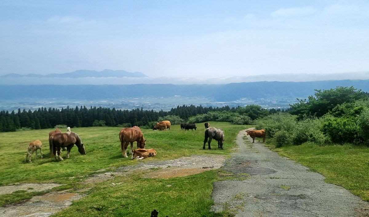
Herds of horses and cows freely graze on the green, open slopes of the volcanoes up here. I can’t help but wonder if they are next week’s horse sashimi and wagyu beef.
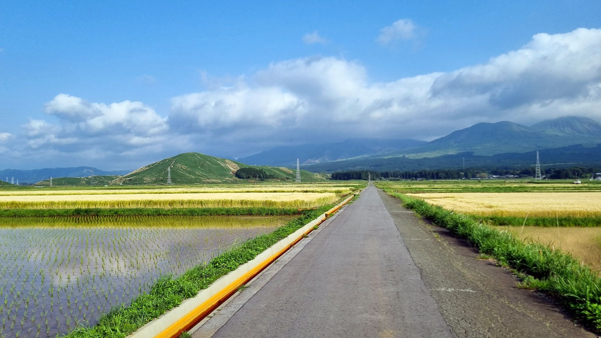
I descend back down to pick up the touring bags and head out north for a 300m climb back up the caldera’s northern wall. Inside the Aso plateau you feel this carefree joy of cruising and switching between the hundreds of traffic-free farm access roads that criss-cross the caldera. A TT paradise.
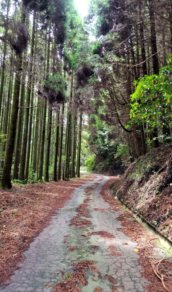
This time, I pick a desolate service road for the way to the rim. It’s not in a great state (there’s a warning it closes when it rains) – but entirely free of cars and thus ideal for an ascent. The road twists its way up through a quiet and mystic forest worthy of a scene from Murakami’s Norwegian Wood. After a good few twists and turns, the landscape again opens up nearer to the top, revealing amazing landscape scenery.
Tip: Keep in mind the service road apparently shuts if there’s heavy rain / snow, and the central volcanoes also shut off for access if they’re particularly active – usually once every few years.
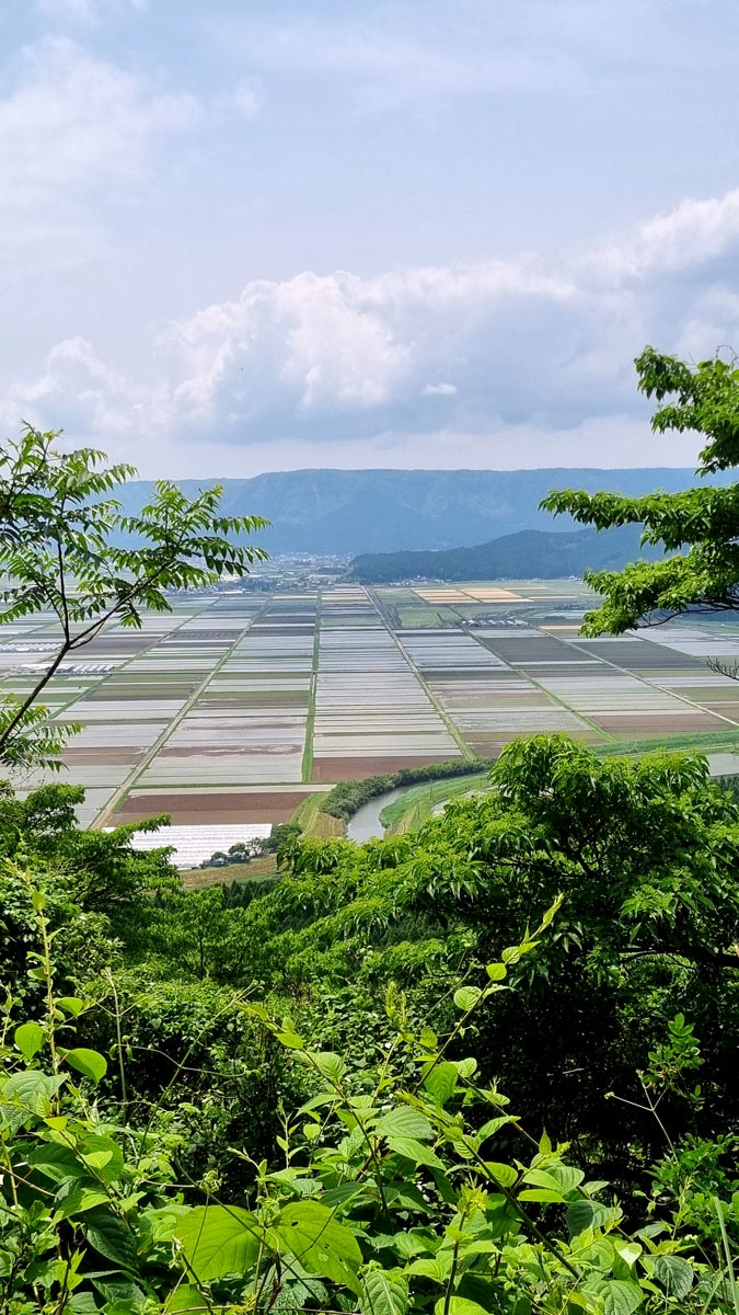
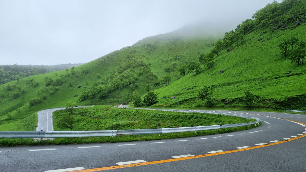
The road evens out as I turn off the caldera onto Route 11 to head up into Kuju Mountains. It’s fairly remote up here and stops are scarce – so take one when you can. I stop by an excellent udon restaurant (阿蘇やまなみ夢広場) with a lovely terrace to enjoy the volcanic landscapes. Great timing – as soon after the main ascent of the day kicks off – another 500m up to Kyushu’s highest paved road – the Makinoto Pass.
On the way up, there’s a perfect stop seemingly out of nowhere to catch your breath or snack up – Senbatsurushika Park. It’s an incredible open display of masterfully shaped tree and shrub sculptures as far as the eye can see. All free to enjoy!

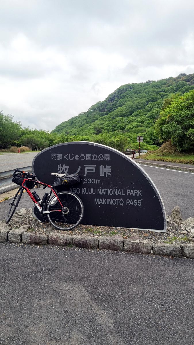
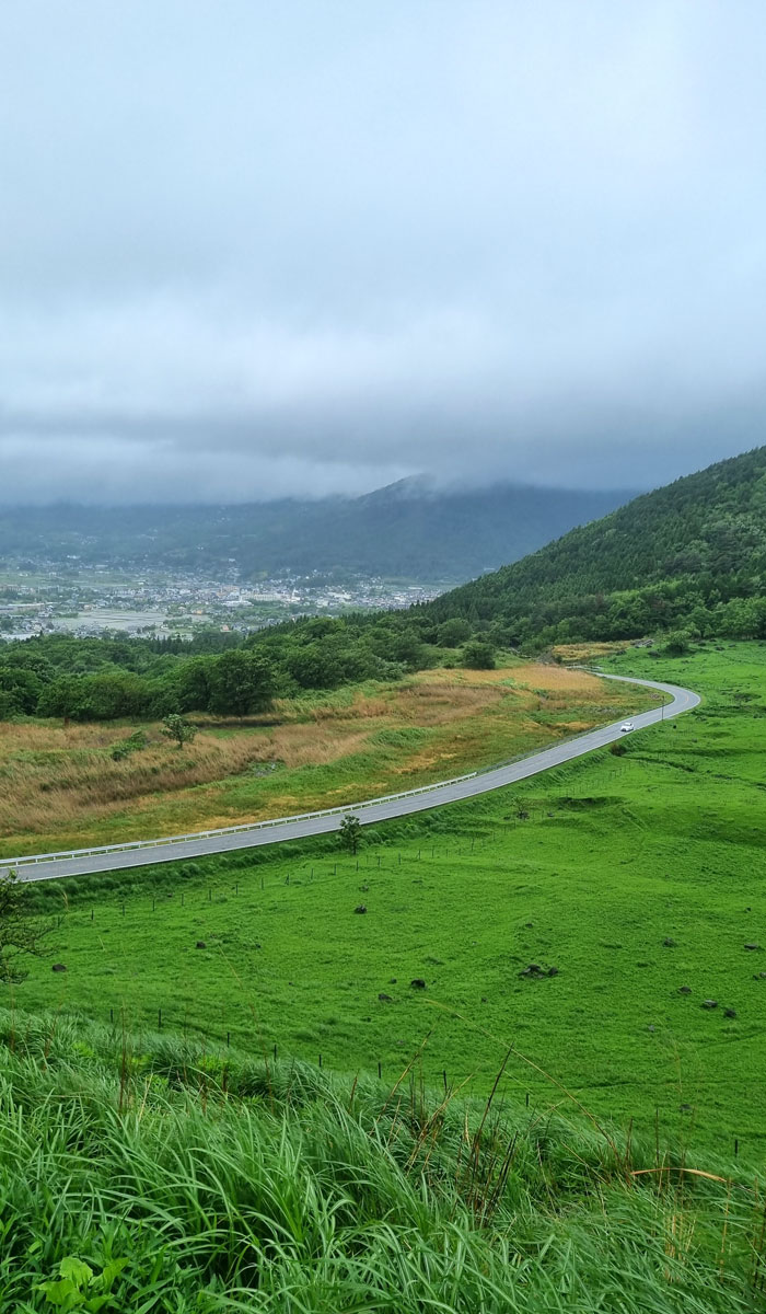
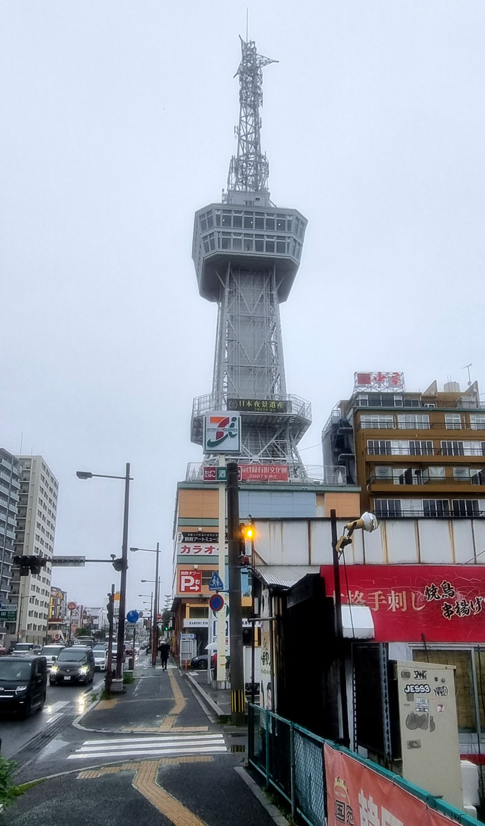
Reaching Makinoto Pass, I chat with a curious group of day-trip cyclists from Oita over a refreshing blueberry ice-cream (“buru-berri aisu-kuream”), before setting off on a long Alpine-style descent down to Yufuin past forests and wetlands. Before long, the unmistakable stink of sulphur signals the passage into Japan’s thermal hot springs heartland. The eggy smell strengthens on as I approach Yufuin – distant clusters of geothermal chimneys puff thick white on the hillsides.
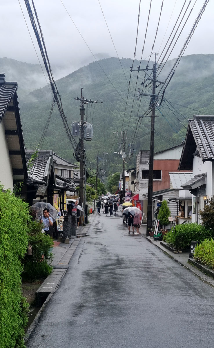
Yufuin, along with Beppu, are famously Japan’s most famous thermal springs resorts. I choose to stay in Yufuin as it’s slightly less touristy – and settle into a quaint ryokan run by a nice elderly woman. It’s Google Translate time to shine.
Day 6: Yufuin to Beppu
Slow day in hot spring land, and ferry to Shikoku
Distance: 27km
Elevation: ~310m
Ferries from Kyushu to Shikoku
Read part 2 here for the Shikoku & Island Hopping part of the Western Japan cycling tour.
I hope you’ve found this Kyushu cycling itinerary useful for your bike tour planning and if you have any questions – let me know in the comments below!
Found this guide useful? You can support the site with a coffee ☕ — it helps cover hosting costs.


2 Comments
Frank
Thanks for a wonderful and comprehensive guide ! We are heading to Kyushu in November and this will come in handy.
Nikita
Thanks for the comment Frank – hope it does! Have a fantastic time exploring Kyushu in November.